Briefing Météo
Réalisé par l'Aéro Club de Sologne pour le CNVV
Prévisions de front à 12H UTC
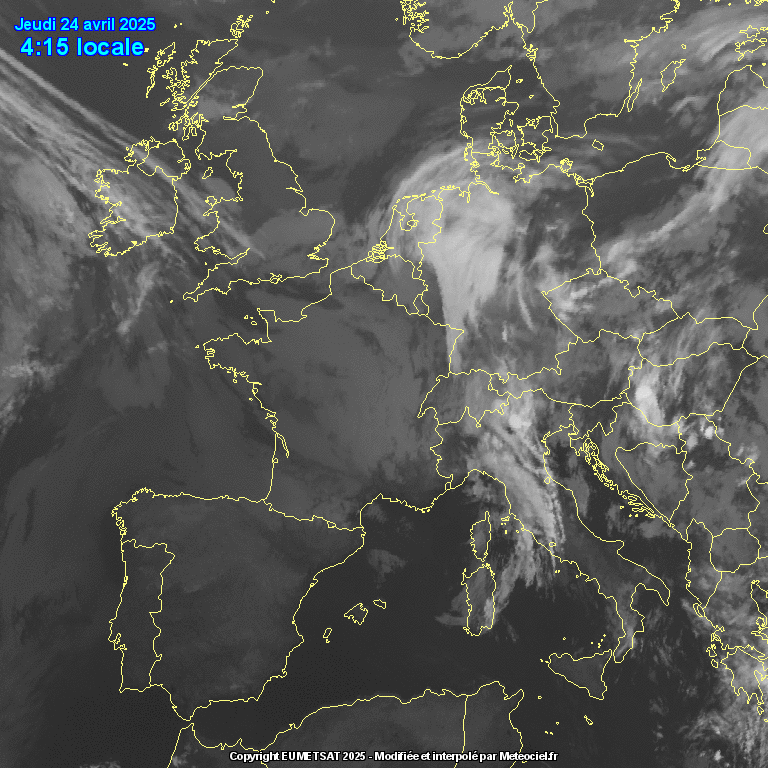
Satellite infrarouge Europe
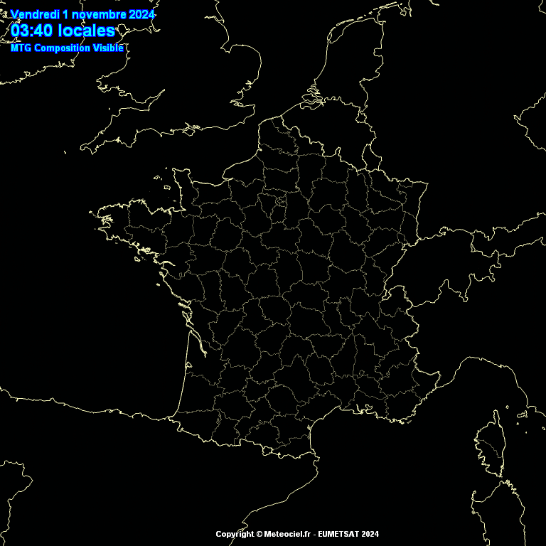
Satellite visible France
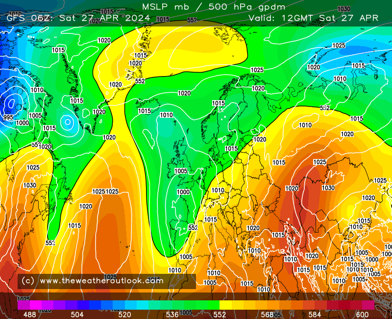
Géopotentielle à 500mb
Radar pluie
Carte vents 12H UTC France 500hPa

Carte vents 15H UTC France 500hPa

Carte vents 12H UTC Sud-Est 10m

Carte vents 15H UTC Sud-Est 10m

Carte vents 12H UTC Sud-Est 850hPa

Carte vents 15H UTC Sud-Est 850hPa

Sondage modélisé Météociel / Saint Auban
Sondage modélisé Météociel / Briançon
Humidité relative 12H UTC
Surface based CAPE 12H UTC
Températures à 9h UTC

Températures à 15h UTC

Table des Niveaux de Vol
QNH LFYR :
Delta : m
METAR : LFYR 280800Z 05004KT 360V080 CAVOK 16/10 Q1025 NOSIG=
Plancher
Altitude standard
Altitude du jour
Zones
3000 ft
914 m
R20 B5
3500 ft
1066 m
R85
4500 ft
1371 m
R20 B4
FL55
1676 m
FL65
1981 m
R20 H4
FL95
2895 m
FL115
3505 m